
Poyo Flash Flood: 3,500 m³/s Surge, Not Rain, in Paiporta
The Poyo ravine discharged 3,500 m³/s while the Júcar-Turia canal carried just 4 m³/s, highlighting the DANA flash flood debate in Paiporta, Spain.
English · Original discussion in Spanish · Published
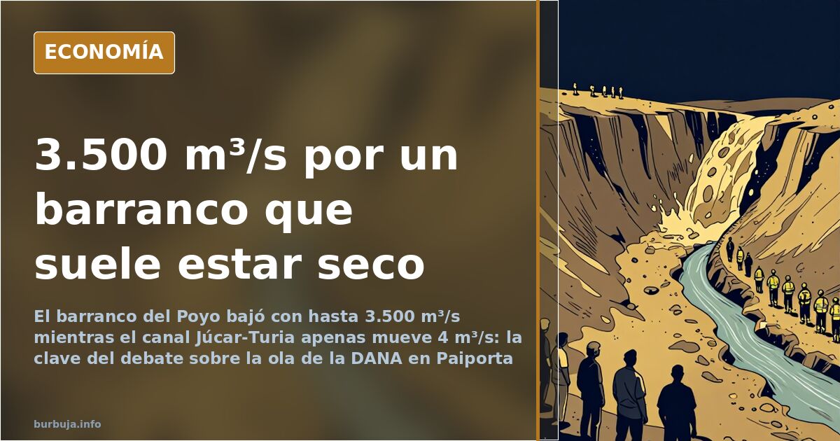
Poyo surge at 3,500 m³/s: the wave the canal couldn't swallow
A channel dry most of the year discharged an estimated 3,500 m³/s. The Poyo ravine, which connects Chiva, Cheste, and Paiporta, became a runaway river while much of the zero zone received no rain. Hence the title: survivors describe a wave, not rain. The uncomfortable question is not what they saw, but where so much water came from.
Was it a wave or rain? What the rainfall totals say
Records indicate accumulations between 600 and 770 liters per square meter in Chiva and Turís, with Turís recording Spain's hourly rainfall record. Chiva is at the Poyo's headwaters. Hydrologists call this concentration time: rain falls far away in the upper basin and takes time to descend; when it does, it arrives all at once as a front. Ravine experts know it well: first comes the sound of rolling stones, then the water.
Nor is this a new or Spanish phenomenon. Flash floods are documented in Arizona, Pakistan, Switzerland, or Utah with the same pattern: water reaches dry terrain in minutes after raining elsewhere. Some even add a local factor: bridges acting as spontaneous dams when vegetation clogs the channel and then suddenly fail.
Against this explanation, another view holds that it didn't rain enough and the water came from unannounced dam releases. This argument clashes with geography: the Poyo receives no dam water because it is orographically impossible, and a map suffices to prove it. In between lies one certainty: many passing towns were unaffected, which doesn't fit the idea of a single, controlled drain.
The Júcar-Turia canal and the flow that never arrived
The Júcar-Turia transfer has become the center of controversy. One analysis places it as the source of the water that swept through Paiporta, claiming its rupture and basin releases contributed to the flood. The figures used by the other side debunk the scale: this canal handles no more than 4 m³/s, and the infrastructure transferring water from the Júcar to the Turia extracts a maximum of 32 m³/s and delivers about 16 m³/s, as it irrigates towns and crops along the way.
Compare this with the 3,500 m³/s attributed to the Poyo. This is not a nuance difference. It is the distance between emptying a glass and opening a reservoir gate. Those defending the release theory must explain where this volume traveled to the zero zone.
Algemesí, the Forata Dam, and the Magro River: a different flood
It is important not to merge two disasters that occurred simultaneously. Algemesí flooded due to the Magro River overflowing after the Forata Dam peine, and it is over 30 kilometers from Paiporta. Forata's water first flooded Montroy and Real de Montroy, then proceeded to Llombai. Between these two worlds lay towns barely affected: Silla, Alcàsser, Picassent, Almussafes, Benifaió. If it had all been one single tide, these municipalities would not have been spared.
The new Turia channel: saved Valencia, trapped Paiporta
One factor absent in floods decades ago is the new Turia channel. It saved the capital, yes, but at the cost of closing the natural water exit around Paiporta: the V-30, AVE tracks, and Silla road form a funnel turning the area into a dam without an escape. This is not a criticism of the infrastructure, but a confirmation that the board has changed and yesterday's decisions dictate where flooding occurs today.
The emergency message that was never sent
As the water rose, management unraveled. Interior Minister Salomé Pradas, earning €66,000 annually, did not know she could send a message to all provincial mobile phones, according to the established account. President Carlos Mazón reportedly spent three hours without communication while towns flooded. Then there is the human element: Toñi, a Benetússer resident, lost her husband and daughter when the ravine overflowed, and denounced the delay and coldness of the administrations' response.
Everything discussed afterward—the wave, the transfer, the warning—stumbles over the same question. If the water flowed where it always has and the map hasn't changed, why didn't anyone warn hours in advance? And if the map had changed, who assumed the risk of not redesigning it?
A channel dry most of the year discharged an estimated 3,500 m³/s. The Poyo ravine, which connects Chiva, Cheste, and Paiporta, became a runaway river while much of the zero zone received no rain. Hence the title: survivors describe a wave, not rain. The uncomfortable question is not what they saw, but where so much water came from.
Was it a wave or rain? What the rainfall totals say
Records indicate accumulations between 600 and 770 liters per square meter in Chiva and Turís, with Turís recording Spain's hourly rainfall record. Chiva is at the Poyo's headwaters. Hydrologists call this concentration time: rain falls far away in the upper basin and takes time to descend; when it does, it arrives all at once as a front. Ravine experts know it well: first comes the sound of rolling stones, then the water.
Nor is this a new or Spanish phenomenon. Flash floods are documented in Arizona, Pakistan, Switzerland, or Utah with the same pattern: water reaches dry terrain in minutes after raining elsewhere. Some even add a local factor: bridges acting as spontaneous dams when vegetation clogs the channel and then suddenly fail.
Against this explanation, another view holds that it didn't rain enough and the water came from unannounced dam releases. This argument clashes with geography: the Poyo receives no dam water because it is orographically impossible, and a map suffices to prove it. In between lies one certainty: many passing towns were unaffected, which doesn't fit the idea of a single, controlled drain.
The Júcar-Turia canal and the flow that never arrived
The Júcar-Turia transfer has become the center of controversy. One analysis places it as the source of the water that swept through Paiporta, claiming its rupture and basin releases contributed to the flood. The figures used by the other side debunk the scale: this canal handles no more than 4 m³/s, and the infrastructure transferring water from the Júcar to the Turia extracts a maximum of 32 m³/s and delivers about 16 m³/s, as it irrigates towns and crops along the way.
Compare this with the 3,500 m³/s attributed to the Poyo. This is not a nuance difference. It is the distance between emptying a glass and opening a reservoir gate. Those defending the release theory must explain where this volume traveled to the zero zone.
Algemesí, the Forata Dam, and the Magro River: a different flood
It is important not to merge two disasters that occurred simultaneously. Algemesí flooded due to the Magro River overflowing after the Forata Dam peine, and it is over 30 kilometers from Paiporta. Forata's water first flooded Montroy and Real de Montroy, then proceeded to Llombai. Between these two worlds lay towns barely affected: Silla, Alcàsser, Picassent, Almussafes, Benifaió. If it had all been one single tide, these municipalities would not have been spared.
The new Turia channel: saved Valencia, trapped Paiporta
One factor absent in floods decades ago is the new Turia channel. It saved the capital, yes, but at the cost of closing the natural water exit around Paiporta: the V-30, AVE tracks, and Silla road form a funnel turning the area into a dam without an escape. This is not a criticism of the infrastructure, but a confirmation that the board has changed and yesterday's decisions dictate where flooding occurs today.
The emergency message that was never sent
As the water rose, management unraveled. Interior Minister Salomé Pradas, earning €66,000 annually, did not know she could send a message to all provincial mobile phones, according to the established account. President Carlos Mazón reportedly spent three hours without communication while towns flooded. Then there is the human element: Toñi, a Benetússer resident, lost her husband and daughter when the ravine overflowed, and denounced the delay and coldness of the administrations' response.
Everything discussed afterward—the wave, the transfer, the warning—stumbles over the same question. If the water flowed where it always has and the map hasn't changed, why didn't anyone warn hours in advance? And if the map had changed, who assumed the risk of not redesigning it?
Summary of a discussion on Burbuja.info - Foro de economía, actualidad y política., translated from Spanish and reviewed before publication. Read the full discussion (302 replies).
More summaries
-
Spain's Defense Minister Confronts Residents in Flooded Paiporta Garage
Spain's Defense Minister clashes with two residents cleaning a flooded garage in Paiporta, 25 days after the flood, as the military is already deployed.
-
El Jueves targets corruption with a lineup of the usual suspects
El Jueves publishes a corruption-themed cover with eleven figures: mostly PP and two from PSOE. Criticism over imbalance and omissions.
-
Latin Evangelicals Reshape Spain's Political and Religious Landscape
Latin American evangelicals are disrupting Spain's political and religious balance, uniting conservatives and leftists against a shared cultural shift.
-
F-18 Crash in Teruel Kills Lieutenant Colonel Estrada
Lieutenant Colonel Pablo Estrada dies when an F-18 from Wing 12 crashes in Teruel, sparking debate over pilot age and ejection seat failure.
-
Apollo 11 Moon Landing: What Conspiracy Theorists Claim
A petrified wood sample from the Rijksmuseum fueled doubts about the 1969 moon landing. Six missions occurred between 1969 and 1972, but skepticism persists.
-
Climatic Summer vs. Late Spring: Spain’s Weather Clash
Late spring frosts and 12°C in the Cantabrian coast clash with the 'climatic summer' label used by weather forecasters.