
Magellan's Secret Map: Did He Know of the Strait?
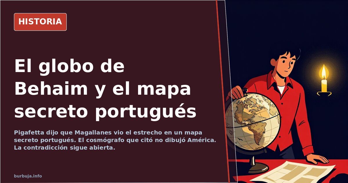
Pigafetta claimed Magellan saw the strait on a secret Portuguese map. The cited cosmographer never mapped America, leaving the contradiction unresolved.
English · Original discussion in Spanish · Published
The Secret Map That Led Magellan to the Strait
In January 1518, Ferdinand Magellan traveled from Seville to Valladolid to pitch an unlikely route to Charles V: reaching the Moluccas by sailing west. Freshly married to Beatriz Barbosa, daughter of his Portuguese host, he carried a conviction the rest of the expedition did not share. We do not know what map was in his mind, but Antonio Pigafetta’s chronicle of the first circumnavigation states that the crew was so convinced the channel had no western exit that they would not have sought it "without the great knowledge of the commander-in-chief."
This sparks the debate dividing historians: did Magellan know the strait existed, or did he merely suspect it?
What Evidence Suggests Magellan Saw a Map of the Strait?
Pigafetta claims Magellan had seen the passage drawn on a map kept in the King of Portugal’s treasury, created by Martin Behaim, "an excellent cosmographer." The behavioral argument is strong: a captain who recently survived mutinies on two ships would not risk entering an unknown canal for two days amidst storms and uncharted shoals unless convinced something lay there.
Supporters of this view argue the certainty was genuine. Critics suggest it was theater—a fabricated guarantee to prevent the crew from turning back. Since the passage was found, the outcome retroactively validates either hypothesis, illustrating the classic problem of judging decisions with hindsight.
Who Was Martin Behaim?
Here the narrative breaks. Martín de Bohemia is the Spanish rendering of Martin Behaim, a German geographer and merchant based in Portugal, creator of the oldest surviving globe, dated 1492. That globe shows no trace of the American continent. The reference does not fit. "The only map I see is his 1492 globe, which lacks any sign of America," summarizes the skepticism.
The most common explanation is that Magellan gave Pigafetta false information about the source, or that the map he saw was different. As noted in discussions, Pigafetta spends much of the narrative "flattering Magellan," clearly exaggerating.
Portuguese Cartography as Economic Warfare
Much of the mystery clears if we accept that maps were instruments of economic war. The Portuguese Padrão Real was a state secret. Diogo Ribeiro’s 1529 planisphere appeared ten years after the expedition. Official knowledge of the South American coast south of Brazil was nonexistent.
Some argue further: that the Portuguese deliberately falsified maps, depicting an elongated, impassable America to deter Castile from entering their sphere. Yet one clue contradicts general ignorance: Schöner’s 1520 planisphere clearly depicts the Atlantic-Pacific passage, and the Waldseemüller-Ringmann map of 1507 may have shown the Pacific six years before Balboa sighted it. Someone possessed this information before any expedition justified it.
The Strait vs. Cape Horn: The Impossible Route
Time proves the strait was the only reasonable gateway. The Cape Horn route was worse: it enters Arctic latitudes, adds currents and swells, and was not rounded until 1616 by the Dutch. The strait allowed coastal navigation in an era when calculating latitude and longitude was difficult.
As late as 1800, debates continued over which route was preferable. This should temper retrospective judgments on the decision to enter the strait in 1520.
Portuguese Pilots and the Strange Voyage Through Insulindia
The darkest point is not the strait, but what trinc. According to debates, the expedition crossed the Pacific in four months but took twice as long to cover the shorter stretch between the Philippines and the Moluccas, under Portuguese captains appointed by Magellan. Half a year wandering without clear direction.
Suspicions that Portuguese and Venetian interests aligned in this venture have always lingered. Without documentary proof, it remains exactly that: a suspicion.
The disorienting fact remains. Behaim’s globe, the cosmographer Pigafetta cites as the source, was finished in 1492 and depicts a world without America. If the strait was on paper, it was not on that one.
In January 1518, Ferdinand Magellan traveled from Seville to Valladolid to pitch an unlikely route to Charles V: reaching the Moluccas by sailing west. Freshly married to Beatriz Barbosa, daughter of his Portuguese host, he carried a conviction the rest of the expedition did not share. We do not know what map was in his mind, but Antonio Pigafetta’s chronicle of the first circumnavigation states that the crew was so convinced the channel had no western exit that they would not have sought it "without the great knowledge of the commander-in-chief."
This sparks the debate dividing historians: did Magellan know the strait existed, or did he merely suspect it?
What Evidence Suggests Magellan Saw a Map of the Strait?
Pigafetta claims Magellan had seen the passage drawn on a map kept in the King of Portugal’s treasury, created by Martin Behaim, "an excellent cosmographer." The behavioral argument is strong: a captain who recently survived mutinies on two ships would not risk entering an unknown canal for two days amidst storms and uncharted shoals unless convinced something lay there.
Supporters of this view argue the certainty was genuine. Critics suggest it was theater—a fabricated guarantee to prevent the crew from turning back. Since the passage was found, the outcome retroactively validates either hypothesis, illustrating the classic problem of judging decisions with hindsight.
Who Was Martin Behaim?
Here the narrative breaks. Martín de Bohemia is the Spanish rendering of Martin Behaim, a German geographer and merchant based in Portugal, creator of the oldest surviving globe, dated 1492. That globe shows no trace of the American continent. The reference does not fit. "The only map I see is his 1492 globe, which lacks any sign of America," summarizes the skepticism.
The most common explanation is that Magellan gave Pigafetta false information about the source, or that the map he saw was different. As noted in discussions, Pigafetta spends much of the narrative "flattering Magellan," clearly exaggerating.
Portuguese Cartography as Economic Warfare
Much of the mystery clears if we accept that maps were instruments of economic war. The Portuguese Padrão Real was a state secret. Diogo Ribeiro’s 1529 planisphere appeared ten years after the expedition. Official knowledge of the South American coast south of Brazil was nonexistent.
Some argue further: that the Portuguese deliberately falsified maps, depicting an elongated, impassable America to deter Castile from entering their sphere. Yet one clue contradicts general ignorance: Schöner’s 1520 planisphere clearly depicts the Atlantic-Pacific passage, and the Waldseemüller-Ringmann map of 1507 may have shown the Pacific six years before Balboa sighted it. Someone possessed this information before any expedition justified it.
The Strait vs. Cape Horn: The Impossible Route
Time proves the strait was the only reasonable gateway. The Cape Horn route was worse: it enters Arctic latitudes, adds currents and swells, and was not rounded until 1616 by the Dutch. The strait allowed coastal navigation in an era when calculating latitude and longitude was difficult.
As late as 1800, debates continued over which route was preferable. This should temper retrospective judgments on the decision to enter the strait in 1520.
Portuguese Pilots and the Strange Voyage Through Insulindia
The darkest point is not the strait, but what trinc. According to debates, the expedition crossed the Pacific in four months but took twice as long to cover the shorter stretch between the Philippines and the Moluccas, under Portuguese captains appointed by Magellan. Half a year wandering without clear direction.
Suspicions that Portuguese and Venetian interests aligned in this venture have always lingered. Without documentary proof, it remains exactly that: a suspicion.
The disorienting fact remains. Behaim’s globe, the cosmographer Pigafetta cites as the source, was finished in 1492 and depicts a world without America. If the strait was on paper, it was not on that one.
Also available in: Deutsch
Summary of a discussion on Burbuja.info - Foro de economía, actualidad y política., translated from Spanish and reviewed before publication. Read the full discussion (134 replies).
More summaries
-
Tartessos Was Real: Argantonio’s Wall Found in Phocaea
Archaeologists found the wall in Phocaea attributed by Herodotus to Tartessian King Argantonio, confirming his construction description.
-
ETA and GAL: two arms of the same Gladio network in Spain
Investigation linking ETA and GAL as arms of the same NATO Gladio network, with drug trafficking funding and CIA control.
-
Rome and Spain: Two Empires, One Debate on Legacy
Rome and Spain shared language, law, cities, and religion. The debate over whether they were civilizing empires or extraction economies remains open.
-
Spanish uses 'comida' for food, lunch, and eating
In Spain, the word 'comida' covers food, lunch, and meals. The definition of almuerzo as midday meal only entered the RAE dictionary in 1992.
-
Dragut's Skull Tower: Built from 5,000 Spanish Victims
The Tower of Skulls in Djerba, built by Dragut with 5,000 Spanish remains, symbolizes the brutality of 16th-century Mediterranean warfare.
-
Rio de Janeiro in 1932: A European City That Later Declined
In 1932, Rio de Janeiro was clean and orderly. Its GDP per capita doubled Spain's. Sixty years later, the reality changed drastically.