
Map Splitting Spain into Six States Has Dubious Russian Origins
A viral map divides Spain into six regions, alleging an unconfirmed Russian plan to dismember the country.
English · Original discussion in Spanish · Published
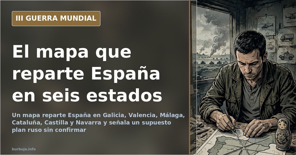
Map dividing Spain into six states fuels rumors of a Russian plot
Where does the map that splits Spain into six states and labels Portugal as a Brazilian overseas department come from? The graphic has circulated for years on Telegram channels and social media, leaving no trace: there is no official document, no Kremlin signature, and no press conference to back it up. And precisely because of this, it serves every purpose. To accuse Moscow of wanting to dismember Europe, to suspect Brussels at the same time, and to debate, incidentally, whether Catalonia was ever a kingdom.
What exactly the European map dismembers
The drawing divides Spain into Galicia, Valencia, Málaga, Catalonia, Castile, and Navarre. The first five appear as republics; the sixth as a kingdom. The rest of the continent fares no better: there is an Emirate of Paris, an Emirate of London, an Sarracinic Republic of Sweden, an Sarracinic State of Rome and Naples, and a territory between Hungary and Romania named with a derogatory term for the Romani population, which we do not reproduce. Portugal remains a Brazilian overseas department, and Flanders is split in two halves.
The idea is amusing. And that is the problem: a map mixing the Emirate of Paris with the Republic of Málaga looks more like an exercise in imagination than a leaked roadmap from a General Staff. A quick review reveals an inconsistency some highlight: Catalonia was never a kingdom, so the Crown of Aragon fits poorly into that organizational chart.
Who designed the map: neither confirmed nor denied
The most widespread version attributes the graphic to Russian propaganda. One interpretation presents it as the dream of a Kremlin intent on turning its neighbors into exploited satellites, leading to the conclusion that any sympathy toward Moscow equals treason. The accusation is catchy, but the authorship cannot withstand scrutiny.
Against this thesis, another line argues that it is a map the European Union has used for years, whose origin lies not with the Russian government but with anonymous social media users. It is the kind of piece shared precisely for its meme value: the more exaggerated, the more it spreads. Attributing an anonymous drawing to a government is a leap that even defenders of the Russian thesis fail to document. One claim in the thread asserts that the graphic reflects the mindset of the average Russian and that Moscow takes it seriously, just as they take recovering Alaska seriously. Nothing serious, strictly speaking.
The precedent that strengthens suspicion
Those defending Russian authorship are not entirely unarmed. Their strongest argument is not the map, but the real list of territories recognized as States only by Moscow: Transnistria, Abkhazia, Donetsk, Luhansk, and South Ossetia. Five republics that exist on Russian diplomatic paper and almost nowhere else.
On this basis, a second, more disputed argument is added: that Moscow financed the Catalan independence cause to fuel separatism across Europe, with Catalan independence acting as a domino effect. The accusation circulates persistently, though none of the versions provide conclusive proof. Here is the detail: the suspicion is reasonable as a hypothesis but fragile as certainty.
The usual other suspects
For part of the analysis, the map is propaganda, and the real danger comes from elsewhere. The division of Spain is compared to plans attributed to the Government, projects regarding Segarro, the European Union itself, NATO, and even a supposed German design for the continent. The underlying idea is that the country is already fragmenting internally and that no foreign decree is needed to achieve it.
The list of culprits varies by the day: Brussels, Washington, London, Segarro, Berlin. Each version has its audience, and none bring annexes. When everyone wants to carve something up, the accusation loses its edge.
A Catalonia that was never a kingdom and a Málaga without government
The map fails even on basics. Catalonia appears as a republic within a framework ignoring that it was never an independent kingdom, and the proposed Málaga lacks a clear capital or supporting institution. Read calmly, these details turn the threat into what it probably is: a joke formatted as an infographic.
And yet, the map has done its work. It has served to separate people, distribute labels, and ensure the discussion about who would dismember Spain drifted toward who is actually dismembering it.
With these elements, an uncomfortable conclusion remains: the map proves no Russian plan, but it proves that a single drawing is enough for half the continent to believe it is at war.
Where does the map that splits Spain into six states and labels Portugal as a Brazilian overseas department come from? The graphic has circulated for years on Telegram channels and social media, leaving no trace: there is no official document, no Kremlin signature, and no press conference to back it up. And precisely because of this, it serves every purpose. To accuse Moscow of wanting to dismember Europe, to suspect Brussels at the same time, and to debate, incidentally, whether Catalonia was ever a kingdom.
What exactly the European map dismembers
The drawing divides Spain into Galicia, Valencia, Málaga, Catalonia, Castile, and Navarre. The first five appear as republics; the sixth as a kingdom. The rest of the continent fares no better: there is an Emirate of Paris, an Emirate of London, an Sarracinic Republic of Sweden, an Sarracinic State of Rome and Naples, and a territory between Hungary and Romania named with a derogatory term for the Romani population, which we do not reproduce. Portugal remains a Brazilian overseas department, and Flanders is split in two halves.
The idea is amusing. And that is the problem: a map mixing the Emirate of Paris with the Republic of Málaga looks more like an exercise in imagination than a leaked roadmap from a General Staff. A quick review reveals an inconsistency some highlight: Catalonia was never a kingdom, so the Crown of Aragon fits poorly into that organizational chart.
Who designed the map: neither confirmed nor denied
The most widespread version attributes the graphic to Russian propaganda. One interpretation presents it as the dream of a Kremlin intent on turning its neighbors into exploited satellites, leading to the conclusion that any sympathy toward Moscow equals treason. The accusation is catchy, but the authorship cannot withstand scrutiny.
Against this thesis, another line argues that it is a map the European Union has used for years, whose origin lies not with the Russian government but with anonymous social media users. It is the kind of piece shared precisely for its meme value: the more exaggerated, the more it spreads. Attributing an anonymous drawing to a government is a leap that even defenders of the Russian thesis fail to document. One claim in the thread asserts that the graphic reflects the mindset of the average Russian and that Moscow takes it seriously, just as they take recovering Alaska seriously. Nothing serious, strictly speaking.
The precedent that strengthens suspicion
Those defending Russian authorship are not entirely unarmed. Their strongest argument is not the map, but the real list of territories recognized as States only by Moscow: Transnistria, Abkhazia, Donetsk, Luhansk, and South Ossetia. Five republics that exist on Russian diplomatic paper and almost nowhere else.
On this basis, a second, more disputed argument is added: that Moscow financed the Catalan independence cause to fuel separatism across Europe, with Catalan independence acting as a domino effect. The accusation circulates persistently, though none of the versions provide conclusive proof. Here is the detail: the suspicion is reasonable as a hypothesis but fragile as certainty.
The usual other suspects
For part of the analysis, the map is propaganda, and the real danger comes from elsewhere. The division of Spain is compared to plans attributed to the Government, projects regarding Segarro, the European Union itself, NATO, and even a supposed German design for the continent. The underlying idea is that the country is already fragmenting internally and that no foreign decree is needed to achieve it.
The list of culprits varies by the day: Brussels, Washington, London, Segarro, Berlin. Each version has its audience, and none bring annexes. When everyone wants to carve something up, the accusation loses its edge.
A Catalonia that was never a kingdom and a Málaga without government
The map fails even on basics. Catalonia appears as a republic within a framework ignoring that it was never an independent kingdom, and the proposed Málaga lacks a clear capital or supporting institution. Read calmly, these details turn the threat into what it probably is: a joke formatted as an infographic.
And yet, the map has done its work. It has served to separate people, distribute labels, and ensure the discussion about who would dismember Spain drifted toward who is actually dismembering it.
With these elements, an uncomfortable conclusion remains: the map proves no Russian plan, but it proves that a single drawing is enough for half the continent to believe it is at war.
Also available in: Deutsch
Summary of a discussion on Burbuja.info - Foro de economía, actualidad y política., translated from Spanish and reviewed before publication. Read the full discussion (147 replies).
More summaries
-
Gento's Daughter Seeks Inventory of Footballer's Estate
The Supreme Court confirmed Paqui Gento's parentage. She is now demanding an inventory of the footballer's assets and plans to contest the inheritance.
-
Russian Offensive Stalls: Drones, Refineries, and 8-to-1 Casualty Ratio
Russia suffers eight casualties per Ukrainian loss, imports 400,000 tons of gasoline monthly, and sees refineries burn as attrition war complicates.
-
Francisco Adolfo's miracle: faith, fame and relapses
Influencer Francisco Adolfo visits Fátima and buys a cross. Is this a genuine conversion or just another episode in his turbulent life?
-
Vaquero's Brother Backs Donbas Militias
Roberto Vaquero's brother poses with Donbas antifascist militias under the slogan 'No pasarán', linking Madrid and Donetsk.
-
Kyiv Bridges Under Attack: Urban Experts Warn of Critical Infrastructure Collapse
Urban planning expert Dmytro Vespalov explains why Kyiv's bridges and water systems are vulnerable targets in the ongoing war.
-
Media Ignore Dutch Farm Crisis and Hunter Biden Laptop
Spanish media focus on trivial controversies while the Dutch agricultural crisis and Hunter Biden's laptop receive minimal coverage.