
India: which regions come out ahead, according to a geographic debate
The south and the Himalayas escape the Ganges plain's poor showing: 300 of 1.5 billion would live in acceptable provinces, according to a claim circulating in the debate.
English · Original discussion in Spanish · Published
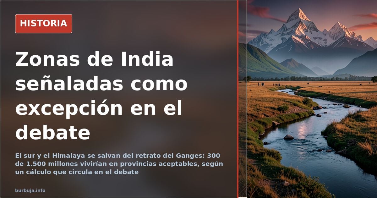
India: which regions come out ahead, according to a geographic debate
India's south and far north concentrate the country's most developed areas, while the Ganges plain takes the brunt of the diagnosis. Of India's 1.5 billion inhabitants, around 300 million would live in provinces considered acceptable, according to the argument that opens the discussion. The rest are spread across the center-north, the Ganges valley and the Kolkata strip, singled out as the core of backwardness.
The starting thesis is geographic and demographic at once: the Himalayas and their foothills, the tropical south and the arid west would fare better than the great river plain. With a population of 300 million instead of 1.5 billion, it is argued, the country would carry more weight globally. It is a counterfactual hypothesis no one can verify, but it structures much of the conversation.
Which Indian states are considered the most developed
The map that emerges has four patches: the northern range, the south, the west and the center-north. The Himalayan mountain areas appear as the refuge where a supposed Aryan ancestry would have been best preserved, with photographic examples such as the Kinnaur valley, temples backed by the range, forests in Goa or Lake Gurudongmar in Sikkim. These are cherry-picked images, not a statistical sample.
The south receives uneven treatment. Tamil Nadu and Chennai are left off the list of acceptable areas because of their appearance and density, while Maharashtra, Gujarat and Rajasthan are described as regions looking more toward Western Asia than the rest of the subcontinent. Kashmir falls into that same logic of differentiated identity.
Goa deserves a chapter of its own. It is described as the area with the least objectionable mindset by the country's standards, and it is stressed that this is no coincidence: the Portuguese enclave left a distinct mark. The objection comes quickly: Goa is an enclave, not a region.
Punjab and the diaspora's economic success
It is striking that Punjab does not appear among the richest states despite the academic prestige of its Sikh diaspora abroad. Some argue that Indians from the northwest — Punjabis and Gujaratis — are the most genetically similar to Europeans and that this explains their economic success. The country's two richest men, according to Forbes, would be Gujaratis, and Gujaratis are reputed to be good at business.
The rebuttal is not long in coming: the intellectual elite emigrates from all provinces, not just that one. And Punjab lacks access to the sea, besides bordering Pakistan. Punjab itself does have a land border with its neighbor, a nuance debated with grammatical wryness.
The Indo-European languages and the racial map under discussion
The racial breakdown proposed divides the country into Aryans, yellows, mixed-race people and an Australoid majority, with percentages ranging from 0.1% to 80%. The objection is direct: the area where Indo-European languages are not spoken is precisely the cleanest and most industrious, the one nineteenth-century authors described as hardworking. The indigenous element would matter less than the colonizer in explaining development.
With these building blocks, the ending is the usual one: a map based on cherry-picked photos and unsourced percentages. The disconcerting datum is that the region without Indo-European languages comes off better than the one credited with Aryan blood.
Also available in: Deutsch
Summary of a discussion on Burbuja.info - Foro de economía, actualidad y política., translated from Spanish and reviewed before publication. Read the full discussion (22 replies).
More summaries
-
Why Bangladesh is so densely populated: the Ganges delta holds the answer
Bangladesh packs 175 million people into 148,460 km². It is neither a miracle nor chaos: the delta's fertility and its colonial history explain it. Its birth rate has…
-
Mexico: Racism or Classism in Mestizaje Mirror
Is Mexico racist or classist? Mestizaje, the term 'whitexican', and phenotype hierarchies reopen an unresolved debate.
-
Latin America's first railway claimed 2,000 lives
On 19 November 1837, Latin America's first railway opened in Cuba. Its construction left more than 2,000 dead, a figure that official accounts have long silenced.
-
ETA and GAL: two arms of the same Gladio network in Spain
Investigation linking ETA and GAL as arms of the same NATO Gladio network, with drug trafficking funding and CIA control.
-
The 21 Coptic Martyrs Killed in Libya
In 2015, 21 Egyptian Coptic workers and one man from Ghana were executed in Libya by terrorists who demanded they renounce their faith. Discover their story.
-
Who were the Circumcellions, North Africa's rebel peasants?
The Circumcellions were 3rd-century rebels in North Africa, associated with Donatism and a distinctive cult of Saturn. Discover their story.